005
Taisho Mudflow Deposit at Shirogane area
The volcanic eruption at Mt.Tokachidake which occurred 1926 caused mudflow. Mudflow flowed downward to Biei and Kamifurano city area, and brought about a disaster there. The year 1926 belongs to the Taisho period in Japan which lasted between 1912 and 1926.; therefore, it is called Taisho Mudflow.
Since it was on 24th May that the eruption occurred, snow still remained near the top of Mt.Tokachidake. Due to the eruption, the northwestern part of Central Cone fell away, high temperature water spouted, and snow melted. High temperature water and sediment finally flowed down. It is called “Taisho Mudflow”. The mudflow reached Kamifurano town, and Biei town, and caused a catastrophe.
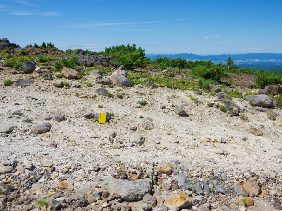
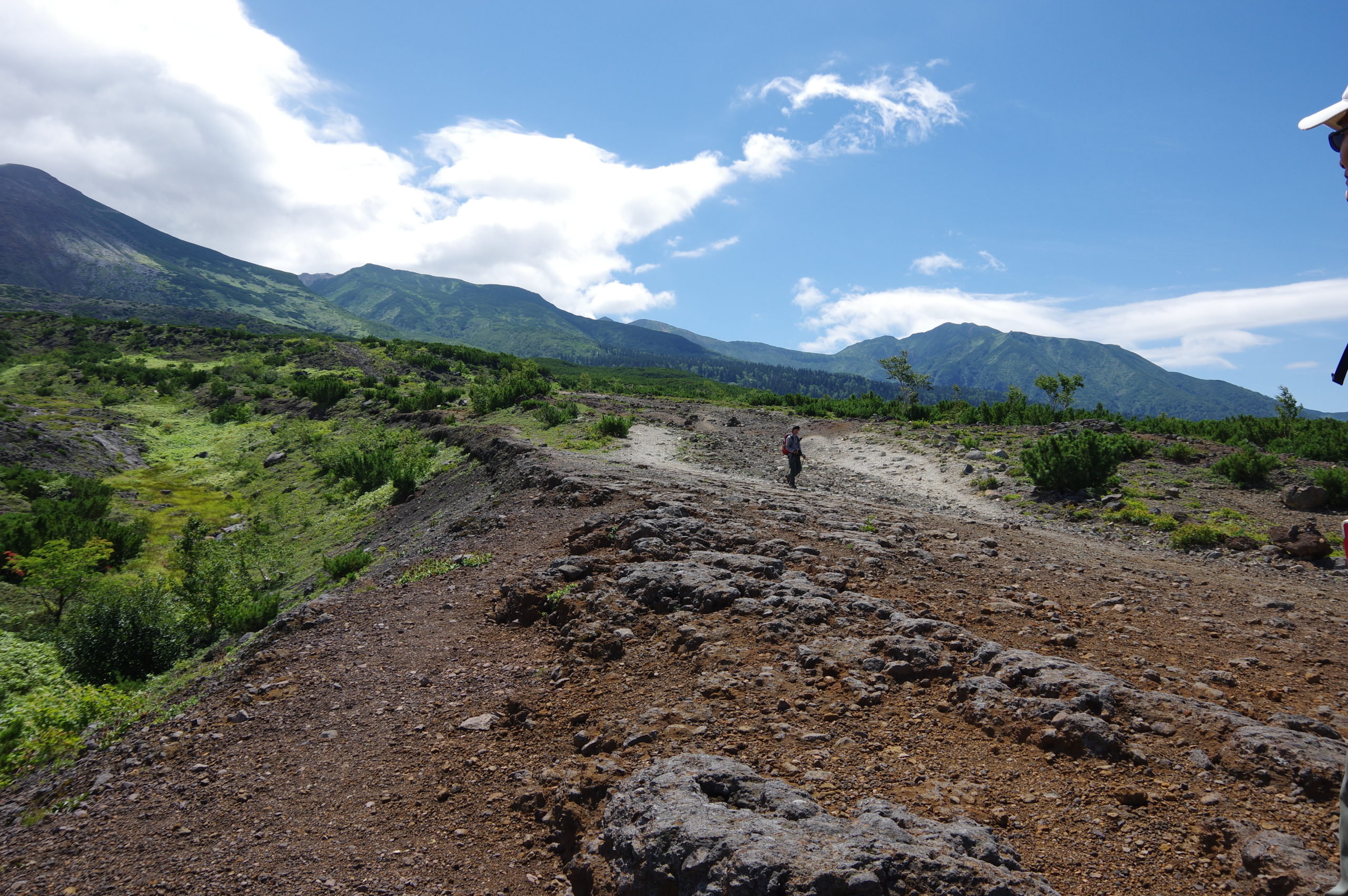
Mudflow scrapes old ejecta such as Ground Crater Pyroclastic Flow Deposit, Central Cone Lava, and new deposit of Taisho mudflow covered ground slightly along mountain trails around Bogakudai.
Taisho mudflow deposit has a characteristic to contain much lithic fragment with hydrothermal alteration.
Since it was on 24th May that the eruption occurred, snow still remained near the top of Mt.Tokachidake. Due to the eruption, the northwestern part of Central Cone fell away, high temperature water spouted, and snow melted. High temperature water and sediment finally flowed down. It is called “Taisho Mudflow”. The mudflow reached Kamifurano town, and Biei town, and caused a catastrophe.
Mudflow scrapes old ejecta such as Ground Crater Pyroclastic Flow Deposit, Central Cone Lava, and new deposit of Taisho mudflow covered ground slightly along mountain trails around Bogakudai.
Taisho mudflow deposit has a characteristic to contain much lithic fragment with hydrothermal alteration.

| Address | Shirogane, Biei town, Kamikawa county, Hokkaido. |
|---|---|
| Access | No public transport (31 minutes by car from Biei Station to Bougakudai) |
| Coordinates | 43.445138, 142.650239 |
| Notice | Beware of volcanic activity |
| Entry | ○ |
| Public lavatory | × Need a portable toilet |
| Parking space | △ Parked at Bougakudai |