011
Taisho Mudflow Deposit at Kusawake
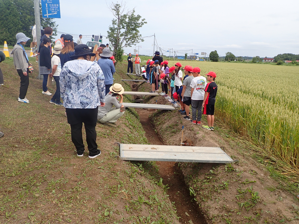
A volcanic eruption occurred at Mt.Tokachidake on 24th May 1926 caused mudflow. Mudflow flowed downward to Kamifurano city centre 30-50 minutes later after the eruption. Mudflow occurred in the Taisho period (from 1912 to 1926); therefore, it is called Taisho Mudflow.
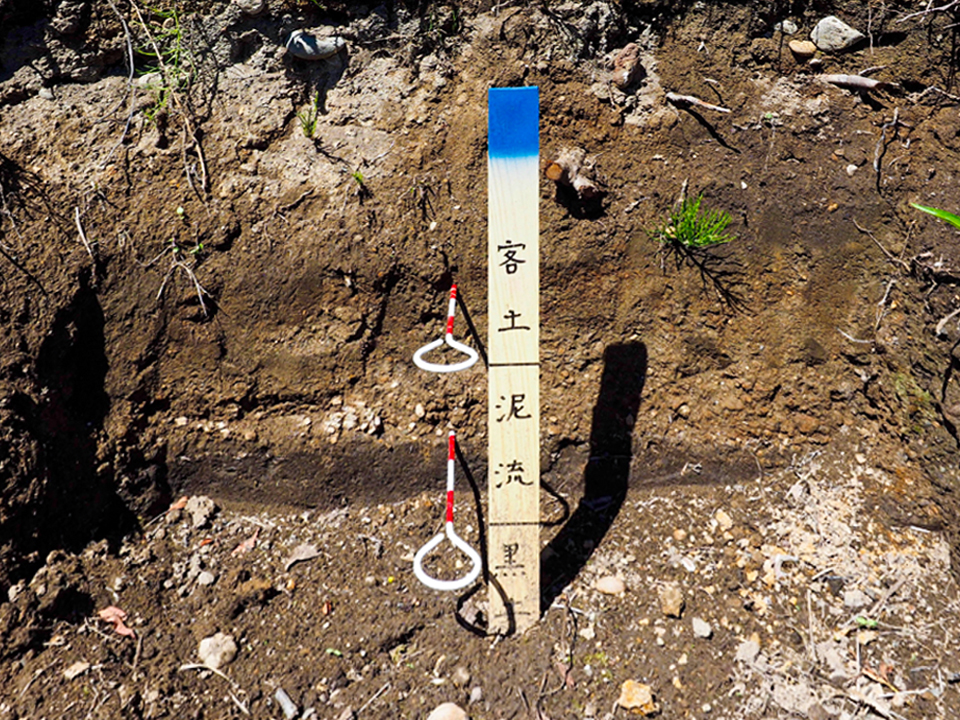
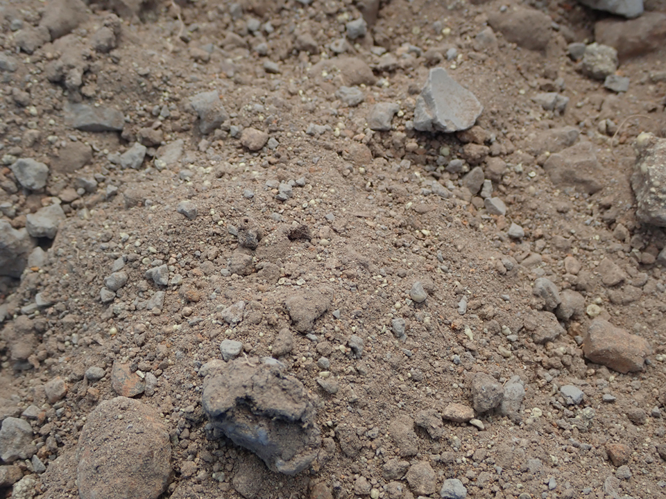
You can observe below three layers there.
The layer of soil for restoring as agricultural land after a disaster.
The layer of gravel from Taisho Mudflow.
The layer of a black loam which was accumulated during three decades between 1897 and 1926 since cultivation was started in Kamifurano.
The eruption caused a catastrophe to town centre and agricultural land in Kamifurano due to the mudflow.
The damage from the mudflow was enormous in Kamifurano town, and Biei town, which are the municipalities for Tokachidake-Geopark.
*Fatalities
Kamifurano:119
Biei: 4
*Missing people
Kamifurano:18
Biei: 3
*Sufferers
Kamifurano:1401
Biei: 600
FYI: Population in 1925
Kamifurano: 10,026
Biei: 12,280
*Damaged houses
Kamifurano: 315
Biei: 86
FYI: The number of houses in 1925
Kamifurano: 1,507
Biei: 2,138
*Total amount of damage.
Kamifurano: 19,500,000JPY
Biei: 60,000JPY
FYI: The financial scale of each town in 1925
Kamifurano: 110,000JPY
Biei: 110,000JPY
In addition, Taisho Mudflow caused heavy damage to crops.
Agricultural land was covered by mudflow, flood woods, and acid soil including much sulfur. It turned into death land where no plant can grow.
Farmers spent a huge amount of time to remove flood woods, and gravel, and to carry soil from other places. Finally, they were successful in reconstruction through hardships.
With regards to the lives of people who were tossed about by Taisho Mudflow, MIURA Ayako gave a lively description of them into "Deiryu Chitai (the Mudflow Zone)", which means mudflow area in Japanese.
| Address | Kita-machi, Kamifurano town, Sorachi county, Hokkaido. |
|---|---|
| Access | By JR Furano Line.18 minute walk from “Kamifurano” station. |
| Coordinates | 43.47550, 142.46506 |
| Notice | Heavy traffic |
| Entry | ○ |
| Public lavatory | × |
| Parking space | × |


