019
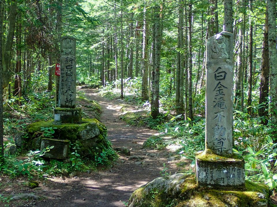
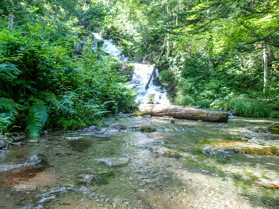
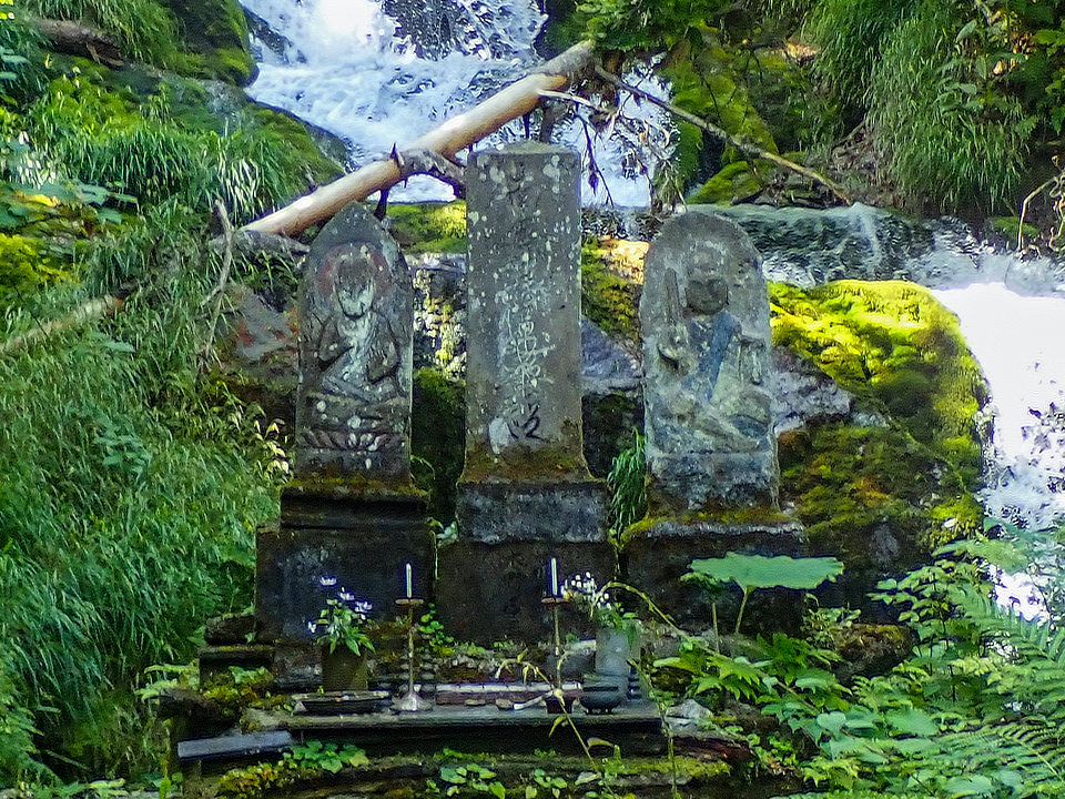
Shirogane Fudo Waterfall
The water which flows from above the Biei Pyroclastic Flow Deposit converges together, and falls from the edge of the deposit as a waterfall.
Lava and other eruption debris around Mt. Tokachidake (an active volcano) has hardened into a rock formation, through which rainwater flows, forming a subterranean river.
This subterranean river turns into a gentle slope, eventually running into a mass of hard rock (the Biei Pyroclastic Flow Deposit), at which point it turns into spring water, flowing across the face of the earth.
The Biei Pyroclastic Flow Deposit formed approximately 2 million years ago, when the Tokachi Caldera, a volcano which existed to the east of Mt. Tokachidake and Mt. Bieidake, erupted.
Under the heat of the magma, and weight of the formation itself, the flow deposit hardened into a type of rock known as welded tuff.
The Biei Pyroclastic Flow Deposit was further shaped by the waters of the Biei River, forming several strata. The waterfall which flows above these strata is known as the Shirogane Fudo Waterfall.
| Address | Shirogane, Biei town, Kamikawa county, Hokkaido. |
|---|---|
| Access | By Douhoku bus. Next to “Fudounotaki” bus stop. |
| Coordinates | 43.479032, 142.626261 |
| Notice | Be careful of slipping |
| Entry | ◯ |
| Public lavatory | × |
| Parking space | ○ |